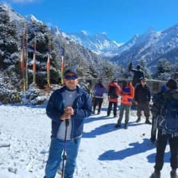
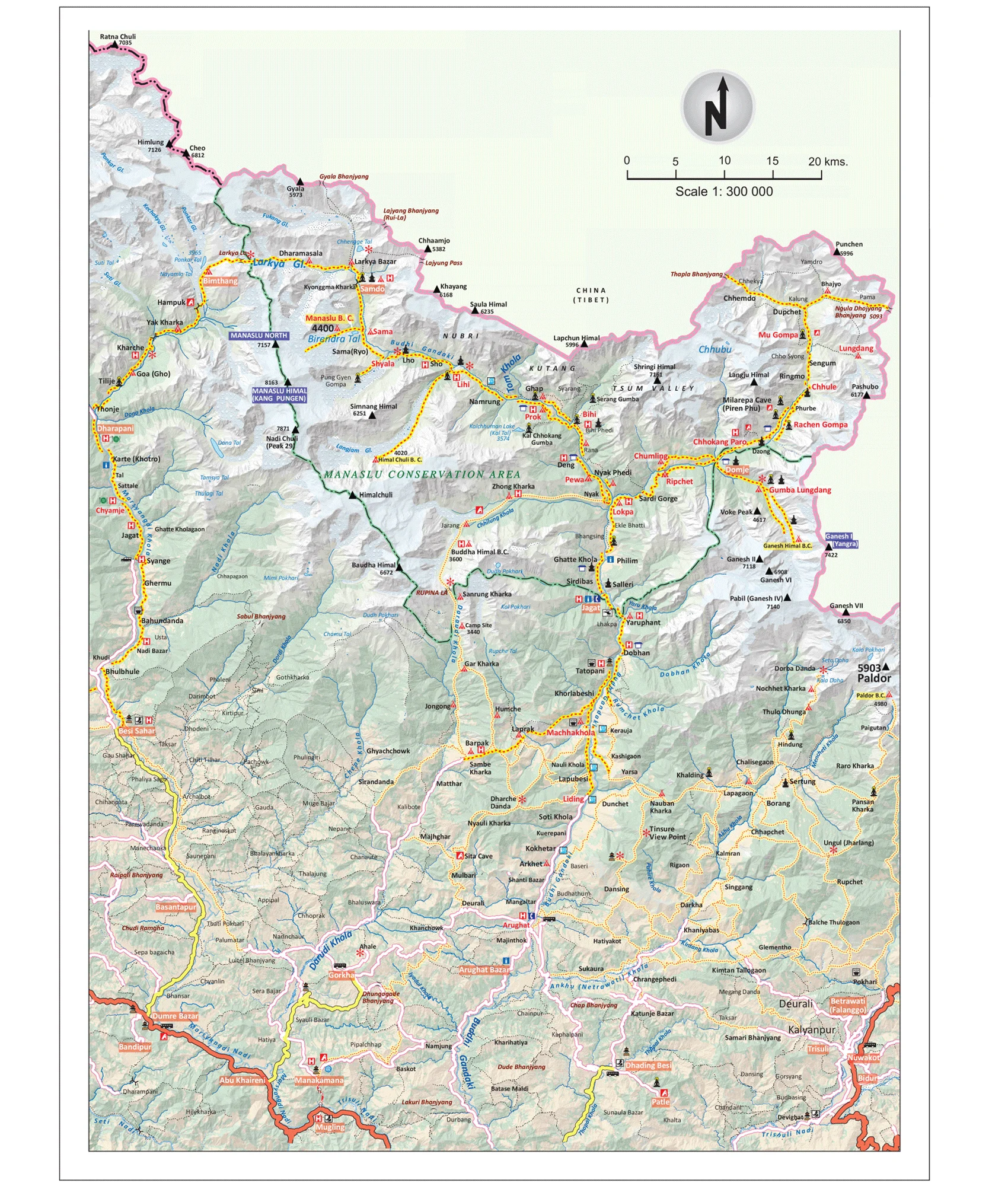
The Manaslu Circuit Trek Map is your trusted guide to one of Nepal’s most stunning off-the-beaten-path adventures. This remote circuit takes you around Mount Manaslu (8,163 m), the world’s eighth-highest peak, and offers a mix of natural beauty and cultural discovery.
A map of the Manaslu Circuit Trek helps trekkers understand the full journey, showing the route, daily distances, altitude changes, and highlights. With the Manaslu trek map in hand, you can prepare for the 16-day itinerary, plan rest days wisely, and explore side treks like the Tsum Valley or Manaslu Base Camp.
Unlike the busier Everest Base Camp or Annapurna Circuit, the Manaslu Circuit trail map reveals a quieter path where you’ll cross suspension bridges, pass Tibetan-style villages, and finally conquer the mighty Larkya La Pass (5,106 m).
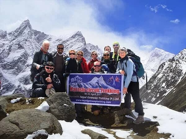
The Manaslu Circuit Trek is becoming popular every day. Don't wait until the route gets crowded - secure your spot on the Manaslu Circuit Trek today.
Overview of the Manaslu Circuit Trek
Before embarking on the Manaslu circuit trek route, it's beneficial to understand the broader context. The Manaslu trekking distance is about 177 km (110 miles), starting from Soti Khola and ending at Dharapani. Most trekkers complete the circuit in about 16 days, including rest and acclimatization days.
Here’s a quick snapshot of the Manaslu Circuit trail map as shown in the Manaslu trekking route map:
- Duration: 16 days
- Difficulty Level: Strenuous (best for experienced trekkers with good fitness)
- Distance covered: 177 km (110 miles)
- Highest Point: Larkya La Pass (5,106 m)
- Best Seasons: Spring (Mar - May) and Autumn (Sep - Nov)
- Permits Requirement: Manaslu Restricted Area Permit, Annapurna Conservation Area Permit (ACAP), TIMS Card
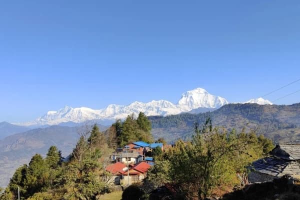
- Route Highlights: Tibetan-influenced villages, Buddhist monasteries, flora and fauna, and mountain vistas.
The Manaslu Circuit itinerary map gives trekkers a clear picture of the journey, from terraced farmlands at low altitude to alpine meadows and high passes. It helps you track altitude changes, plan rest days, and navigate optional side trips such as the Tsum Valley trek and Manaslu Base Camp. Since the trek passes through a restricted area, a licensed guide is required, making a map and proper planning essential for a safe and enjoyable journey.
Manaslu Circuit Trek Route Map

Your journey of the Manaslu Circuit Trek begins in Soti Khola (710 m) or nearby Machha Khola after a drive from Kathmandu. From this starting point, you will be gradually ascending along the Budhi Gandaki River Valley. Along the route, you will be witnessing terraced fields, suspension bridges, and cultural villages.
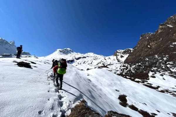
The route passed through set points like Jagat, Philim, Chisapani, Namrung, Lho, Samagaon, Samdo, and Dharmasala. After passing these places, you will be staring at the highest point at Larkya La Pass (5,106 m). After crossing this pass, you will be descending through Bumtang and Tilije and eventually crossing paths with the Annapurna Circuit at Dharapani.
There are multiple key checkpoints within the route, so make sure your permits are ready for these places.
|
Checkpoint |
Altitude (meters) |
|
Jagat |
1,410 m |
|
Philim |
1,570 m |
|
Namrung |
2,630 m |
|
Samagaun |
3,530 m |
|
Dharapani |
1,860 m |
Why You Need a Detailed Manaslu Circuit Trek Map?
Trekking the Manaslu Circuit is an adventure into remote Himalayan terrain. Having a Manaslu Circuit Trek guide and map is essential, especially since this route passes through the restricted Manaslu area, where mobile signals are unreliable and navigation can be tricky.
Here’s why a map is your best companion:
- Safe Navigation: Follow the Manaslu Circuit Trek route with confidence and avoid getting lost in isolated regions.
- Altitude Tracking: Monitor elevation gain to plan rest days and acclimatization stops, reducing the risk of altitude sickness.
- Optional Side Trips: Identify additional hikes like the Tsum Valley trek or Manaslu Base Camp without deviating from your main itinerary.
- Cultural and Geographical Awareness: Understand the location of Tibetan villages, monasteries, rivers, and mountain vistas along the trek.
- Emergency Planning: Know nearby checkpoints, villages, and exits in case of unexpected events.
Even with a licensed guide, carrying a Manaslu Circuit Trek map ensures you can make real-time decisions, understand the terrain, and enjoy every highlight of this breathtaking journey.
The Manaslu restricted area trek map requires special permits and a licensed guide. Travel smart - plan your trek with Nepal Gateway Trekking.
Short Day-by-Day Manaslu Circuit Trek Map with Itinerary
The standard itinerary plan for the Manaslu Circuit is 16 days for Nepal Gateway Trekking. While it may slightly differ depending on extra rest days and acclimatization days, the Manaslu Circuit Trek Map mirrors this structured itinerary.
- Day 1: Arrival in Kathmandu (1,350 m) – Prepare gear and permits.
- Day 2: Drive to Soti Khola / Machha Khola – Scenic riverside drive and start of the adventure.
- Day 3: Trek to Jagat – Cross suspension bridges and explore local villages.
- Day 4: Jagat to Philim – Walk through terraced fields and experience Tibetan-influenced culture.
- Day 5: Philim to Chisapani – Gradual ascent and forested trails.
- Day 6: Chisapani to Namrung – Pass waterfalls and panoramic mountain views.
- Day 7: Namrung to Lho – Visit monasteries and interact with locals.
- Day 8: Lho to Samagaon – Acclimatization day in the heart of the Manaslu region.
- Day 9: Rest day in Samagaon – Optional hike to Manaslu Base Camp; witness glaciers and alpine scenery.
- Day 10: Samagaon to Samdo – Remote villages and Tibetan culture immersion.
- Day 11: Samdo to Dharamsala – Trek through high-altitude landscapes and prayer flags.
- Day 12: Cross Larkya La Pass (5,106 m) and descend to Bimtang – Thrilling high-pass experience.
- Day 13: Bimtang to Tilje – Scenic descent with rivers and meadows.
- Day 14: Tilje to Dharapani – Final stretch joining the Annapurna Circuit.
- Day 15: Drive back to Kathmandu – Reflect on your journey.
- Day 16: Departure – End of the Manaslu Circuit Trek.
Key Notes:
- Total trekking distance: ~177 km (110 miles)
- Highest point: Larkya La Pass (5,106 m)
- Includes acclimatization days at Samagaon and Samdo for safety.
- Optional side trips like Tsum Valley trek and Manaslu Base Camp are available.
Manaslu Circuit Trek Highlights
The Manaslu Circuit Trek is rich with cultural and natural aspects. A Manaslu Circuit Trek Map guide not only points out the route but also highlights some of the main attractions along the way.
- Larkya La Pass Trek (5,106 m): The most dramatic and challenging section, offering sweeping views of Himlung Himal, Cheo Himal, and Annapurna II.
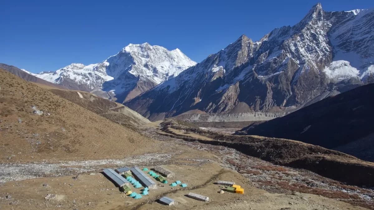
- Manaslu Base Camp: A rewarding side hike from Samagaon that reveals glaciers and pristine alpine scenery.
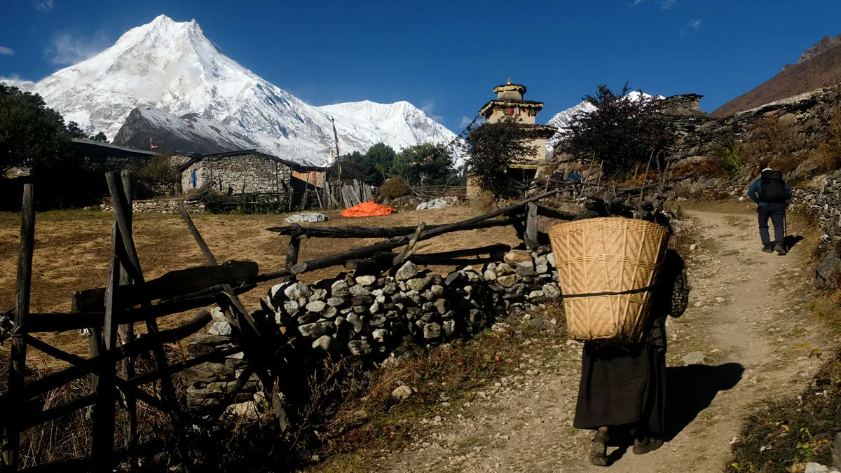
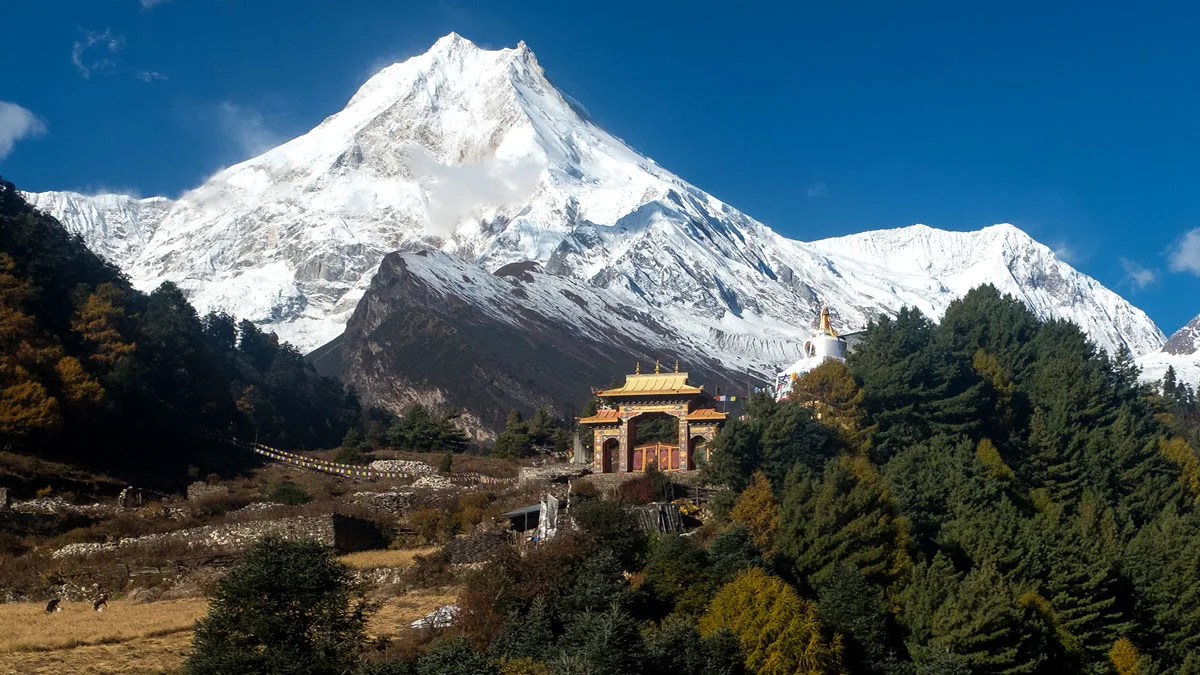
- Tibetan Buddhist Monasteries: Found in Lho, Samagaon, and throughout the Tsum Valley trek, these monasteries provide insight into Tibetan-Nepali spiritual traditions.
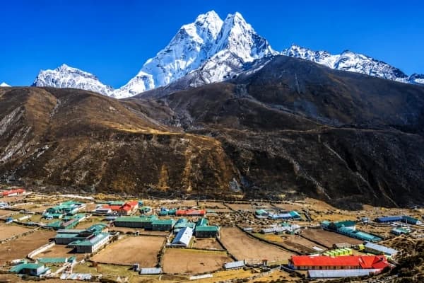
- Remote Villages: Settlements like Samagaon and Samdo showcase Tibetan-influenced culture and warm hospitality.
- Flora and Fauna: The Manaslu circuit trek distance map covers everything from subtropical forests to alpine meadows, home to wildlife such as blue sheep, Himalayan marmots, and even elusive snow leopards.
If you want to go for the trek, knowing best time for Manaslu Circuit Trek is important.
Manaslu Circuit Trek Altitude Profile
Altitude is one of the most important factors on the Manaslu Circuit Trek. Using a Manaslu Circuit Trek map guide helps you track elevation changes, plan rest days, and avoid altitude sickness.
The trek starts at Soti Khola (710 m) and gradually ascends through villages and valleys, reaching the highest point at Larkya La Pass (5,106 m). After the pass, you descend to Dharapani (1,860 m).
Key Altitude Points on the Manaslu Hiking Map Trek:
|
Location |
Altitude (meters) |
Notes |
|
Soti Khola |
710 m |
Trek starts |
|
Jagat |
1,410 m |
First overnight stop |
|
Philim |
1,570 m |
Scenic village |
|
Namrung |
2,630 m |
Steady ascent begins |
|
Samagaon |
3,530 m |
Acclimatization day |
|
Larkya La Pass |
5,106 m |
Highest point, toughest section |
|
Dharapani |
1,860 m |
Trek ends |
Tips for High-Altitude Trekking:
- Take rest days at Samagaon and Samdo to adjust.
- Stay hydrated and pace yourself to avoid altitude sickness.
- Use the Manaslu Circuit Trek GPS map to identify side trips, scenic points, and safe stops.
Following the Manaslu Circuit Trek altitude profile ensures a safer and more enjoyable trek, making your Larkya La Pass trek a rewarding experience.
Final Takeaway
The Manaslu Circuit Trek map is your ultimate guide to exploring Nepal’s eighth-highest mountain - Mount Manaslu. It clearly shows the Manaslu Circuit Trek route map with altitude points, highlights, and cultural landmarks, which will help you plan a safe and memorable adventure more effectively.
From the challenge of crossing the Larkya La Pass trek map to exploring Tibetan villages and Buddhist monasteries, the Manaslu Circuit Trek itinerary offers one of Nepal’s most authentic trekking experiences.
Remember, the Manaslu restricted area trek requires permits and a licensed guide, so planning is crucial. Using a Manaslu Circuit Trek map guide ensures you stay on track, know your acclimatization stops, and make the most of side trips like the Tsum Valley trek or Manaslu Base Camp.
Spots on this trek fill quickly each season, so don’t miss the chance to experience the breathtaking landscapes and unique culture of the Manaslu region.
Plan your journey with the right Manaslu Circuit Trail map and expert guidance to make every step unforgettable. Contact Nepal Gateway Trekking Today!
FAQ’s
What is the highest point on the Manaslu Circuit Trek map?
The highest point of the trek is Larkya La Pass (5,106 m). It is clearly marked on the Manaslu Circuit Trek map and is the most challenging part of the Manaslu Circuit Trek route.
How many days does the Manaslu Circuit Trek take?
The Manaslu Circuit Trek usually takes 16 days, which includes rest days and acclimatization stops, as outlined in the Manaslu Circuit Trek itinerary.
What mountains are visible along the Manaslu Circuit Trek route?
From the Manaslu Circuit Trek route, you can see mountains like Manaslu, Himalchuli, Ngadi Chuli, Cheo Himal, Himlung Himal, and Annapurna II.
Is the Manaslu Circuit Trek suitable for beginners?
No, this trek is graded strenuous. It is best suited for trekkers with prior high-altitude trekking experience and who are physically fit. So, not something a beginner can complete.
Do I need a guide or porter for the Manaslu Circuit Trek?
Yes, the Manaslu restricted area trek requires a licensed guide. As for hiring a porter, it is highly recommended as you need multiple essentials on the trek, and porters help lighten your weight during your journey.
Can the trek be done without the map of the Manaslu Circuit Trek?
Although it is possible to complete the Manaslu Circuit Trek without a map with the help of a guide, it is highly advisable to carry a Manaslu Circuit Map guide for navigation and understanding the route.
What is the best time to trek the Manaslu Circuit?
The best time for the Manaslu Circuit Trek is during the spring (March to May) and autumn (Sep to Nov) seasons. These two seasons offer the most stable weather and clear views out of all seasons.