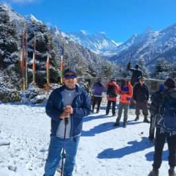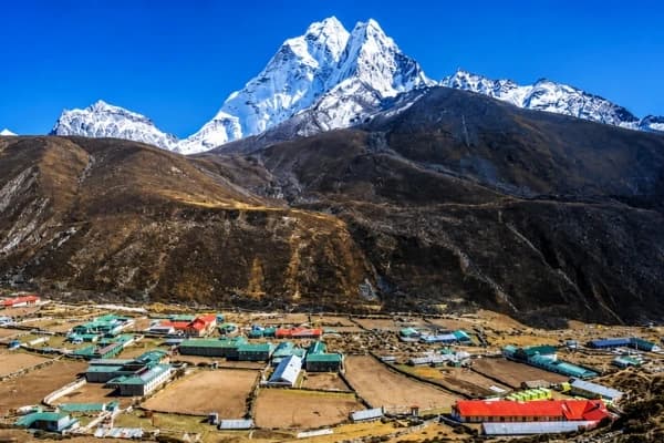
The Upper Mustang trek takes place in the northern part of Nepal, located beyond Kagbeni, near the Tibetan border. This region lies in the rain-shadow area of the Himalayas and is known for its dry landscape, ancient villages, and Tibetan-influenced culture.
For this reason, using an accurate Upper Mustang Trek Map is essential. A map helps trekkers understand the official trail, village locations, and altitude changes along the route. Without a map, it is easy to misjudge distances or miss key stopping points. Therefore, a map supports safer and more efficient trekking.
At the same time, experienced local operators like Nepal Gateway Trekking rely on detailed route maps to plan daily walks, manage altitude gain, and guide trekkers along approved trails.
If you are planning an Upper Mustang Trek and want route clarity from the start, Nepal Gateway Trekking can help you understand the Upper Mustang route before you even arrive in Nepal.
Why You Need an Upper Mustang Trek Map?
Unlike popular trekking regions, the Upper Mustang Trek has wide valleys, limited signboards, and long walking sections between villages. Because of this, relying solely on online descriptions or memory is insufficient. Instead, a trekking map becomes a practical tool that supports both planning and on-trail navigation.
- Helps With Route Planning, Altitude, and Safety: An Upper Mustang trekking route map shows the correct trail, key villages, and altitude points. Therefore, trekkers can plan daily walks better and manage energy safely. For this reason, Nepal Gateway Trekking uses route maps to plan balanced and well-paced trekking days.
- Helps Navigate Villages and Cultural Sites: A trekking map shows where villages, monasteries, and cultural sites are located along the trail. As a result, distances are easier to understand. Moreover, a Printable Upper Mustang map helps mark key stops in advance, which makes navigation simple when trekking with Nepal Gateway Trekking.
Upper Mustang has fixed trails and strict permit rules so plan your trip with Nepal Gateway Trekking and follow approved routes safely using official maps and trusted local knowledge.
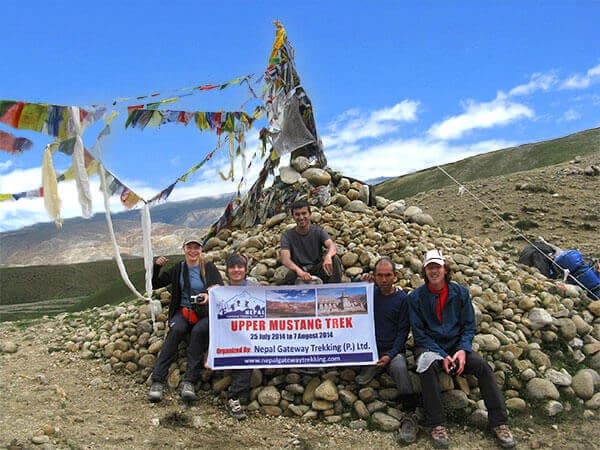
Upper Mustang Trek Overview
Before exploring the route, this overview links the Upper Mustang Trek Map with real trail conditions, covering duration, difficulty, altitude, and route flow for smarter planning.
Trek Duration
The standard Upper Mustang trek itinerary takes around 16 days, including travel days to and from Jomsom. This duration allows trekkers to walk at a steady pace while adjusting properly to altitude in a remote region.
Difficulty Level
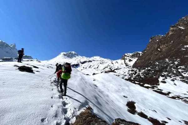
The trek is rated as moderate and does not require technical climbing skills. However, the Upper Mustang trek difficulty comes from long walking days, dry terrain, and high altitude, which makes basic fitness and preparation important.
Maximum Altitude
The highest point of the trek is Gyu La Pass at 4,260 metres, clearly marked on the trek map. Knowing this in advance helps trekkers plan slower walking and proper rest on higher sections of the trail.
Best Trekking Season
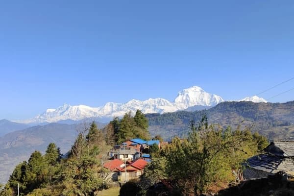
The Upper Mustang Region lies in the rain-shadow area of Nepal, which allows trekking for a longer part of the year. However, the most suitable trekking season is from March to November, when routes remain accessible, and travel conditions are more stable.
Start and End Points
The trek begins at Jomsom, passes through Kagbeni, and continues north to Lo Manthang before returning to Jomsom. The Nepal Upper Mustang map clearly shows this complete route, making the journey easier to visualize.
To plan smarter and avoid surprises, check our Upper Mustang trekking fees news update by Nepal Gateway Trekking and get a clear breakdown of permits, costs, and budgeting tips before your journey.
Detailed Upper Mustang Trek Map With Distance
A detailed Upper Mustang Trek Map with distance helps trekkers understand how far they walk each day and how the route moves through villages, passes, and cultural sites, aligned with the official Upper Mustang trekking map.
Route-by-Route Distance Breakdown (Aligned With the Map)
Below is the standard trekking route with approximate walking distances. These distances are widely used for itinerary planning and may vary slightly due to side trips or trail conditions.
|
Trek Section |
Approx. Distance |
Route Insight |
|
Jomsom → Kagbeni |
10 km |
Entry point to Upper Mustang, Kali Gandaki valley |
|
Kagbeni → Chuksang |
11 km |
Dry riverbeds, early Mustang landscape |
|
Chuksang → Chele |
10 km |
Narrow valleys and river crossings |
|
Chele → Tetang |
9 km |
Steep ascent to the traditional village |
|
Tetang → Syanbochen |
11 km |
Open valleys, gradual altitude gain |
|
Syanbochen → Nyi La Pass → Drakmar |
10 km |
High pass crossing, red cliffs |
|
Drakmar → Ghar Gumpa → Lo Manthang |
12 km |
Monastery visit, arrival at the walled city |
|
Lo Manthang → Choser Cave (side hike) |
6–8 km |
Ancient cave dwellings |
|
Lo Manthang → Yara |
9 km |
Less-used trail, open terrain |
|
Yara → Luri Gompa → Tange |
12 km |
Cave monastery, remote landscape |
|
Tange → Gyu La Pass → Muktinath |
14 km |
The Highest point of the trek |
|
Muktinath → Jomsom |
18 km (trek/drive) |
End of trekking section |
Because these distances are spread evenly, the Upper Mustang trekking route remains manageable when walked at a steady pace. However, altitude and terrain still require proper planning.
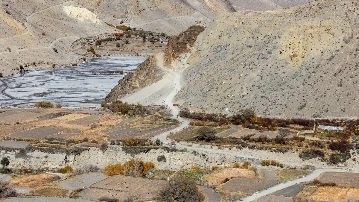
Since your journey kicks off right along the riverbed, find out what makes this dramatic river valley the deepest canyon on earth, the Kali Gandaki Gorge
Avoid long, tiring days at high altitude: Contact Nepal Gateway Trekking and let our map-based planning guide you safely through Upper Mustang.
Key Trekking routes shown on the map

A proper Upper Mustang Trek Map clearly separates different types of routes.
- Main trekking routes follow traditional walking trails between villages
- Secondary routes lead to monasteries, caves, and viewpoints
- Drive routes are jeep tracks used mainly for logistics
Therefore, knowing which path is a trekking trail and which is a road makes a big difference to the trekking experience.
Trekking Itinerary with Map Integration
Using the Upper Mustang Trek Map with the itinerary helps you see daily distances, village spacing, and altitude changes, so the route and pacing make clear sense on the trail.
- Day 1–3: First, the map shows the transition from road and air travel to the start of trekking. These days are designed to ease trekkers into the journey while entering Upper Mustang through Kagbeni and reaching Chuksang at a comfortable pace.
- Day 4–6: Next, the map highlights gradual altitude gain and village-to-village walking. Because the trail climbs steadily, these days support acclimatization while crossing open valleys and approaching the first high pass.
- Day 7–10: At this stage, the map focuses on cultural and historical sections of the trek. It clearly marks Lo Manthang points of interest, side hikes to caves, and monastery visits, which helps trekkers plan walking and exploration time properly.
- Day 11–16: Finally, the map shows the highest point of the trek at Gyu La Pass and the gradual descent toward Muktinath and Jomsom. These days, they complete the loop and guide trekkers safely back to the end point.
Want clear insight into routes, altitude, and daily pacing? Explore our Upper Mustang Trekking Guide by Nepal Gateway Trekking and plan your Upper Mustang journey with confidence.
Villages and Cultural Highlights on the Map
The Upper Mustang villages map is not only useful for navigation but also helps trekkers understand where culture, history, and daily village life fit into the trekking route.
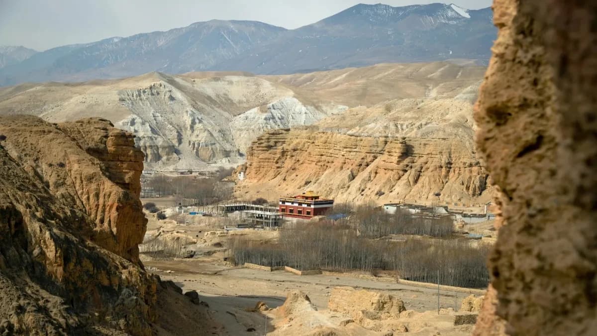
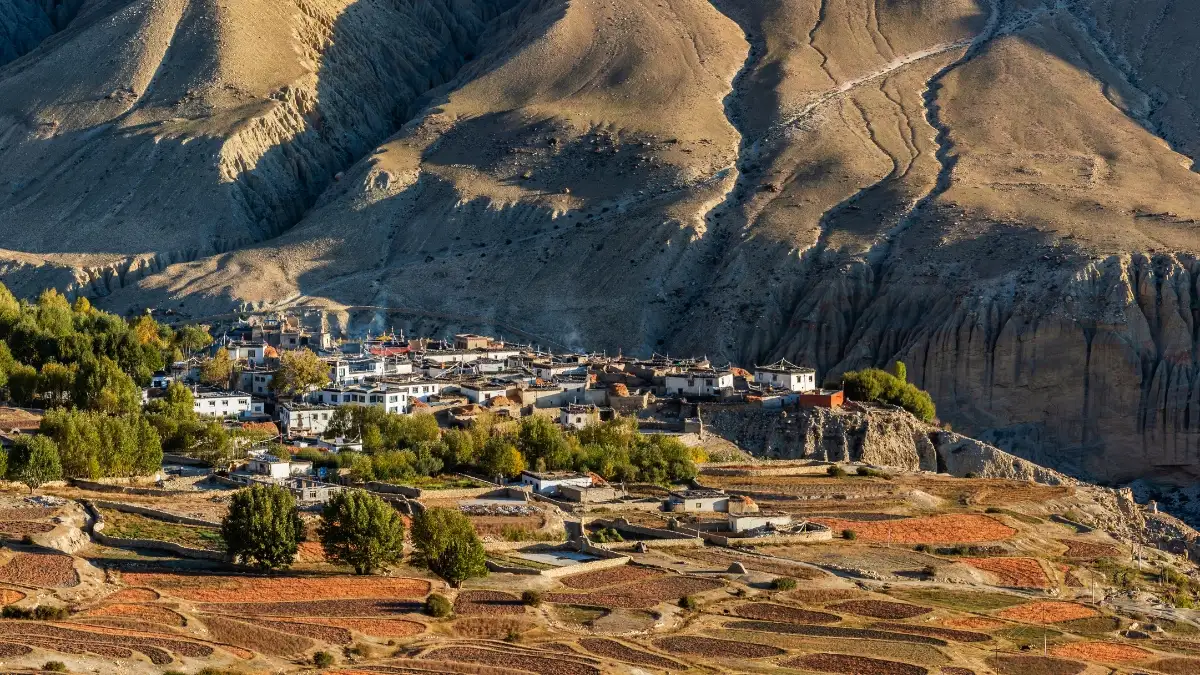
Lo Manthang
Lo Manthang is the main walled city of Upper Mustang and the cultural centre of the region. The map marks monasteries, the royal palace, and surrounding trails, making it easier to explore important Lo Manthang points of interest without confusion.
Choser Cave
Choser Cave appears on the map as a side route from Lo Manthang. These ancient cave structures are easier to locate and visit when their access trail is clearly marked.
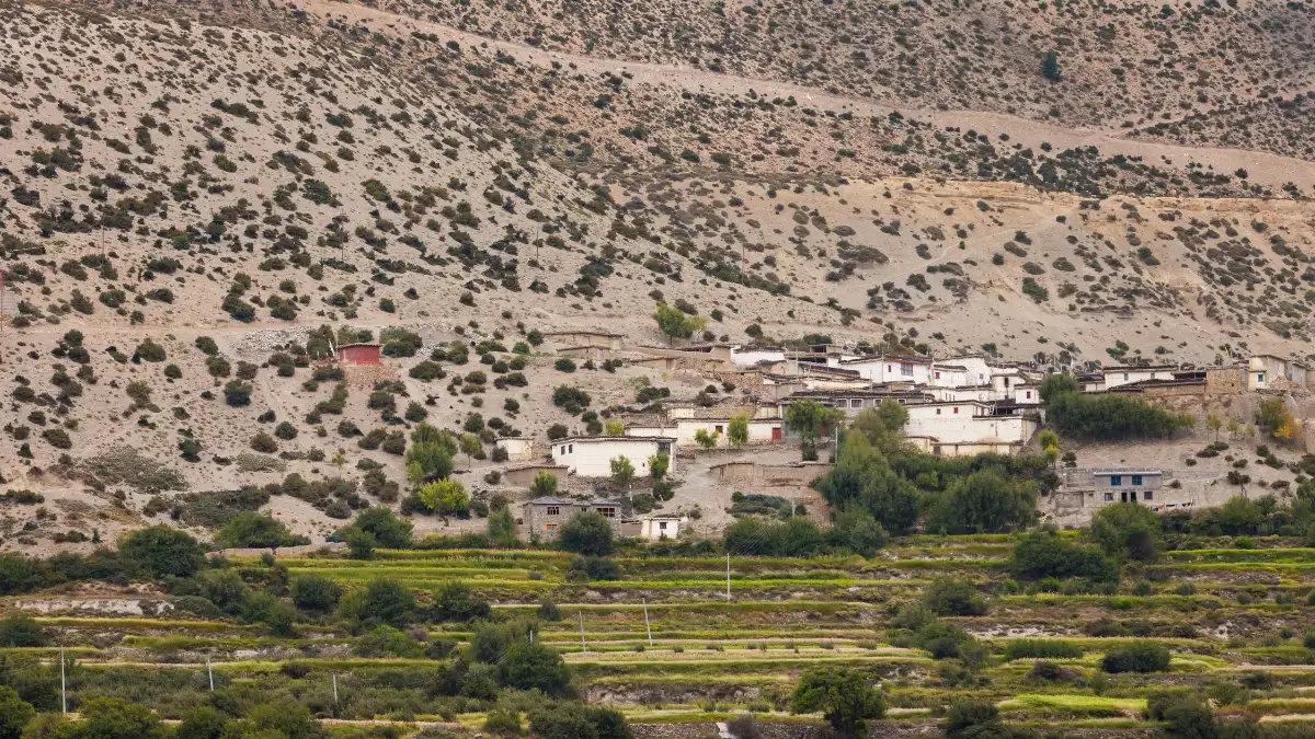
Tetang and Chuksang
Tetang and Chuksang are shown as key villages on the Upper Mustang villages map. These settlements reflect traditional village life and are commonly used as overnight stops during the trek.
Yara and Luri Gompa
Yara village and nearby Luri Gompa are marked as cultural highlights along the route. The map helps trekkers plan these visits while staying on the main trekking trail.
From walled cities to quiet settlements, discover Upper Mustang’s village culture by getting in touch with Nepal Gateway Trekking and trekking with local guides.
Tips for Using the Upper Mustang Trek Map
An Upper Mustang Trek Map helps trekkers plan daily walks, understand altitude changes, and stay on the correct route in this remote and restricted region. Here are some tips using the Upper Mustang trek map:
- Use Printed and Digital Maps Together
- Check Altitude Points Before Each Day
- Track Villages and Walking Distances
- Mark Side Routes in Advance
Nepal Gateway Trekking uses official Upper Mustang trekking maps every day to explain routes, distances, and village locations, helping trekkers rely on planning rather than guesswork.
Final Thoughts
The Upper Mustang trek is about understanding the route, respecting altitude, and moving carefully through a remote Himalayan landscape. A clear Upper Mustang Trek Map brings together distance, villages, and cultural sites into one complete plan.
When used properly, the map helps trekkers pace their walk, locate important landmarks, and approach high passes with preparation. For trekkers who want reliable planning, permit support, and local route knowledge, Nepal Gateway Trekking offers guided Upper Mustang treks based on official maps and real trail experience.
Planning your Upper Mustang journey? Explore the Upper Mustang Trek with Nepal Gateway Trekking and trek with confidence, clarity, and local insight. Contact Now.
FAQs
What is the best map for the Upper Mustang trek?
A detailed Upper Mustang trekking map that shows villages, altitude points, and passes is best for route planning.
How many days does the Upper Mustang trek take?
The standard Upper Mustang trek itinerary takes around 16 days, including travel and acclimatization days.
Can I use a printable Upper Mustang map?
Yes, a printable Upper Mustang map is useful and recommended as a backup to digital maps.
Which villages are important on the Upper Mustang trek?
Key villages include Kagbeni, Chuksang, Tetang, Yara, and Lo Manthang are important on the Upper Mustang Trek.
What is the difficulty level of the Upper Mustang trek?
The Upper Mustang trek difficulty is moderate, mainly due to altitude, dry terrain, and long walking days.
Is a guide required for the Upper Mustang trekking?
Yes, Upper Mustang is a restricted area, and trekking must be done with a licensed guide.
Can Nepal Gateway Trekking help plan the trek?
Yes, Nepal Gateway Trekking supports trekkers with permits, route planning, trekking maps, and experienced local guides.